Integrating Deforestation Monitoring Systems and Grievance Reporting Protocols
Integrating Deforestation and Landscape Monitoring Systems
In 2018, a landscape coalition was established through a collaborative landscape monitoring initiative involving the World Resources Institute (WRI), IDH Foundation, Wageningen University, the Leuser Conservation Forum (FKL), and the multi-stakeholder forums (PUPL) of Aceh Tamiang and East Aceh.
Through this collaboration, Aceh Tamiang and East Aceh Regencies—which had previously established PPI Compact partnerships with the IDH Foundation—supported the development of district-level deforestation monitoring teams. Within this arrangement, the PUPL forums became part of the field verification teams alongside the Provincial Forestry Office and other relevant stakeholders.
The Deforestation Monitoring Team in Aceh Tamiang has been operational since October 2021 following the issuance of Aceh Tamiang Regent Decree No. 822/2021. Meanwhile, the East Aceh Deforestation Monitoring Team was established through Regent Decree No. 525/64/2024, which formally appointed the Steering Committee, Implementation Team, and Verification Team. PUPL East Aceh serves as a member of both the Implementation and Verification Teams.
Through a Governor’s Decree, the PMU-KSB was mandated to develop a provincial deforestation monitoring and grievance management system beginning in 2025. Through a multi-stakeholder facilitation process, a provincial monitoring system and protocol were established and are now being integrated with existing district-level deforestation monitoring systems in East Aceh, Aceh Tamiang, and Aceh Singkil.
The integration of the deforestation monitoring system and protocols has been implemented in three phases. The first phase focuses on connecting the provincial monitoring system with the monitoring systems operated by government institutions responsible for conservation areas, protected forests, and national parks, as well as with the Agriculture and Plantation Office (Distanbun), which oversees Areas for Other Land Uses (APL).
The second phase strengthens both the deforestation monitoring and grievance reporting systems within district-level multi-stakeholder institutions, particularly in Aceh Tamiang and East Aceh. In addition to introducing the integrated monitoring system and protocols, this phase facilitates knowledge sharing and strengthens collaborative monitoring networks. Through technical discussions and training sessions, participants jointly developed standardized field verification methodologies, enabling more consistent and effective integrated monitoring operations.
Engagement with district-level multi-stakeholder forums was carried out through a series of technical meetings and coordination sessions. PMU-KSB participated as a resource institution in the Capacity Building Training for the East Aceh Landscape Regional Monitoring Team (TPDD), held in Berastagi from 8–10 April 2026. During the training, PMU-KSB introduced the provincial deforestation monitoring system and protocols while also fostering coordination and collaboration among monitoring institutions. The event further provided an opportunity to learn from East Aceh’s field verification experiences, which informed the refinement of PMU-KSB’s monitoring methodology.
A similar engagement was conducted with the Leuser Conservation Forum (FKL) and PUPL Aceh Tamiang during technical coordination meetings and capacity-building activities for the Aceh Tamiang TPDD in Sabang from 4–8 May 2026.
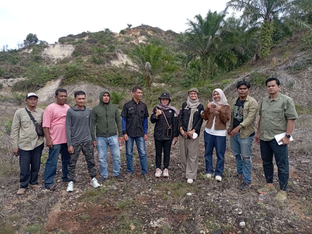
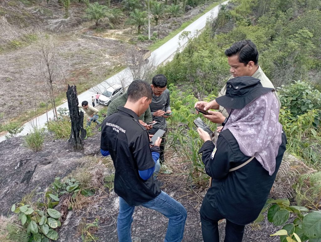
The third phase focused on strengthening the capacity of newly established district-level multi-stakeholder forums and monitoring teams, particularly in Aceh Singkil. Following the introduction of the deforestation monitoring system and protocols, institutional monitoring plans were developed at the end of May 2026. These activities were followed by practical field verification exercises for monitoring team members conducted from 17–20 June 2026.
The collaboration with PUPL Aceh Tamiang and East Aceh resulted in the development of an enhanced field verification model that is fully connected to the provincial deforestation monitoring system while incorporating standardized and accurate digital data collection and verification forms.
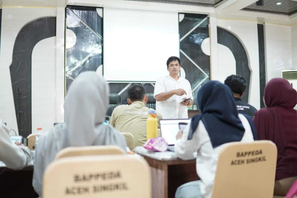
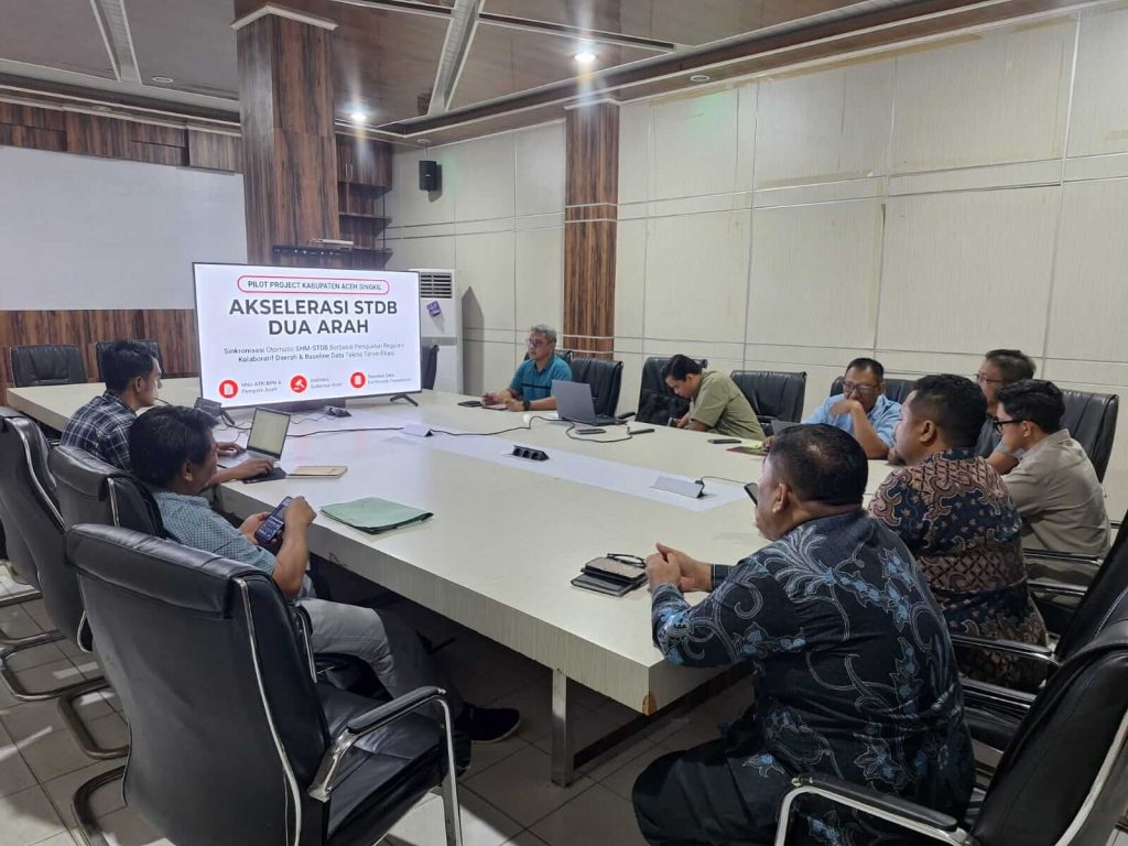
Engagement with the Regional Development Planning Agency (Bappeda) also became a key component of this initiative in securing long-term institutional commitment. One of the main objectives is to establish data-sharing mechanisms concerning areas designated for deforestation monitoring, smallholder plantation locations, land concessions (HGU), and village boundaries. This collaboration is also expected to support the acceleration of Smallholder Plantation Registration Certificates (STDB) in Aceh Singkil.