
Description
Maluku Province is an island province consisting of 1,412 islands covering 712,480 km2 with total coastal length of 11 thousand (11,000) km. The land area of Maluku Province covers only 7.6%, while the rest, 92.4%, is sea.
According to the Maluku Provincial Development Agency (Bappeda) in 2011, Maluku province, despite of its potentials for being an island province, the area of Maluku indicates a very high vulnerability towards climate change impacts, especially in the aspects of (1) food and agriculture (2) marine and fishery, (3) clean water and (4) social, economy, culture and government administration.
In relation to the vulnerability of food and agriculture, most of the agricultural areas in Maluku depend on rainfall and thus have high dependency on climate pattern. Climate change therefore influences planting patterns, increases flooding, salination as well as abrasion in coastal areas due to sea level rise. Moreover, human activities also cause pollution and decreasing extent of productive lands. Overall, the occurring climate change hazards threaten food security at household and local levels.
Vulnerability of the marine and fishery sectors is also strongly related to climate change impacts, such as increasing sea temperature and sea level causing coastal circulation system that affects the supply of nutrients, causes coastal abrasion and coral bleaching as well as increases sea acidity. These conditions clearly influence the ecological process that relates directly to the ability for coral to grow and for various coral fish and other invertebrates’ species to spawn. All fishery business depends strongly on coastal ecosystem. Uncertain weather and more intense frequency of cyclones disturb the fish catching system, thus leading to lessen productivity. Overall, these circumstances affect the fish supply and cause decreasing income of traditional fishermen and fishery industry.
Vulnerability related to water availability covers 5 different types of water sources, (1) rainwater, (2) ground water, (3) surface water, (4) desalinated water and (5) bottled water. In Maluku Islands, not all water sources are accessible and available on most of the islands. As a result, most of the communities are vulnerable to natural variabilities or to changes to the tropical cyclon pattern.
Vulnerability of the aspects of social, economy and government administration are identified by the Bappeda of Maluku among others as (1) a variety of perceptions about climate change and competition between government’s and individual’s priorities, (2) weak institutional framework of the government, (3) poor socio-economic condition of the community, (4) lack of good capacity and governance.
This project aims to support the community of Central Maluku Regency to increase resilience and to reduce vulnerability in the aspects of social, economy and ecology towards climate change impact.
GOALS
To increase the adaptive capacity of coastal community towards climate change impacts.
TARGET
1. Availability of a fishing ground map integrating local tradisional fishing knowledge,
2. Improved shallow water ecosystem to increase fishermen’s resilience through the provision of alternative fish catch,
3. Developed climate resilient alternative coastal economy through improvement of fishery and marine technologies,
4. Developed supporting infrastructure to mitigate tidal and coastal flooding as well as supporting infrastructure to increase the economic value of fishermen’s catch.
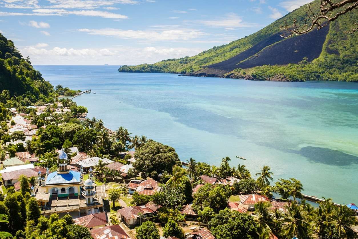
SITE
This project is implemented in three villages in Central Maluku Regency: Asilulu, Ureng and Lima within the regency’s Leihitu District.
Status: Grant
Funded by: Adaptation Fund
Executing Entity: Harmoni Alam Indonesia (HAI)
Project time frame: 1 April 2020 – 31 Maret 2021
Budget: USD $963.456
Managed by: Programme Management Unit – Head Office